La Thuile, Savoie
La Thuile | |
|---|---|
 | |
Location of La Thuile  | |
| Country | France |
| Region | Auvergne-Rhône-Alpes |
| Department | Savoie |
| Arrondissement | Chambéry |
| Canton | Saint-Pierre-d'Albigny |
| Intercommunality | Chambéry métropole |
| Government | |
| • Mayor (2008–2014) | Pierre Perez |
| Area 1 | 18.26 km2 (7.05 sq mi) |
| Population (2006) | 286 |
| • Density | 16/km2 (41/sq mi) |
| • Urban | 125,974 |
| Time zone | UTC+01:00 (CET) |
| • Summer (DST) | UTC+02:00 (CEST) |
| INSEE/Postal code | 73294 /73190 |
| Elevation | 656–1,640 m (2,152–5,381 ft) |
| 1 French Land Register data, which excludes lakes, ponds, glaciers > 1 km2 (0.386 sq mi or 247 acres) and river estuaries. | |
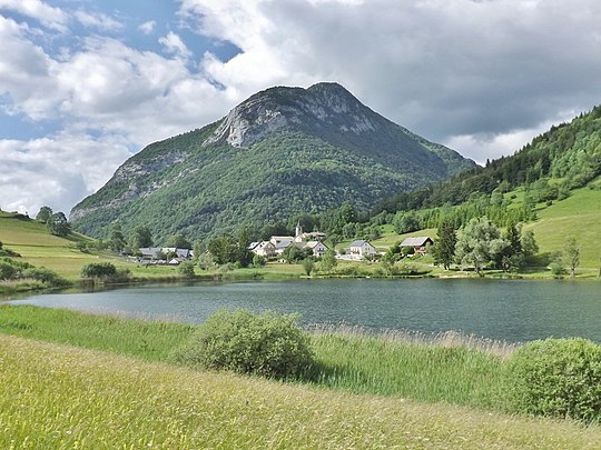
La Thuile is a commune in the Savoie department in the Rhône-Alpes region in south-eastern France.
See also
References
This Savoie geographical article is a stub. You can help Wikipedia by expanding it. |